Production-grade places,
from data you trust.
The production engine for places.
PlaceEngine HL turns the GIS data, 3D scenes, and analytics your team already produces into finished, publication-grade work in a fraction of the time and cost — producing output from your real data and geometry, never stock art.
Built for the work you already do.
PlaceEngine HL extends the ArcGIS stack you already run — the hard GIS work stays with your professionals; the production work gets faster, cheaper, better. Pick your seat.
Small-city staff.
in a fraction of the time.
Let it do the rest.
Render the vision.
From a simple massing model to
place-specific high fidelity.
The same CityEngine, ArcGIS Pro, SketchUp, or Rhino scenes and maps your team already builds — rendered to publication grade through the PlaceEngine HL pipeline. One source. One pass.
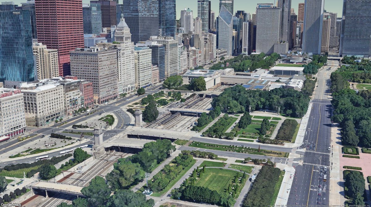
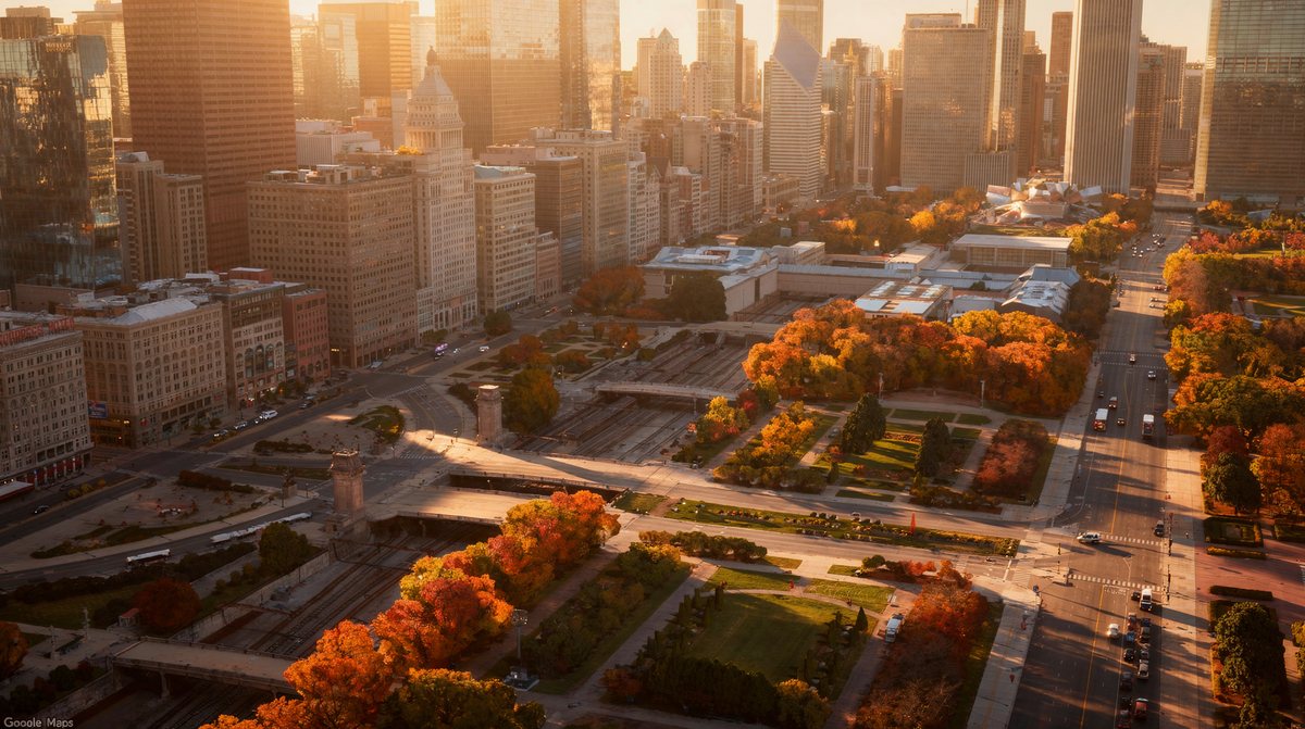
From data to deliverable.
PlaceEngine HL reads your authoritative data, composes the deliverable, and renders the place — all on the ArcGIS environment you already invest in.
Read your data
Pulls live from AGOL, ArcGIS Pro, Urban, GeoEnrichment, CityEngine, and your project files. Authority stays with the source — PlaceEngine HL never duplicates your system of record.
Compose the deliverable
Generates structured documents and presentations — corridor studies, staff reports, engagement materials, and fifty more. Review-ready, brand-consistent, project-specific.
Render the place
CityEngine or ArcGIS Pro scenes and maps produce publication-grade streetscapes, aerials, and future-state renderings — straight from your real project, in your own brand.
Five agents. One pipeline.
Your organization has the data, the models, and the analysis. What it doesn't have is the production layer that turns all of it into the plans, renders, and reports you actually deliver. Five AI agents close that gap — together, coordinated by a single project.
Publication-grade renders and video from your real CityEngine or ArcGIS Pro geometry.
Studies, staff reports, and presentations — assembled section by section from your data.
Pulls ArcGIS GeoEnrichment demographics and market data into narrative context — no copy-paste.
Runs the developer proforma — market assumptions, sensitivity analysis, financial narrative.
Layout, contact sheets, and publication formatting — the deliverable, dressed to ship.
without more headcount.
PlaceEngine doesn't replace your team's expertise; it takes on the production time your staff can't afford to spend. Scale your capacity to match the growth — not your payroll.
A fraction of the time. A fraction of the cost.
The same deliverables your team already produces — composed and rendered from your own data, on the environment you already run.
Time figures reflect PlaceEngine-composed drafts reviewed by your staff; dollar figures are typical market rates for the traditional deliverable PlaceEngine replaces. 50+ deliverable types across 200+ documented use cases. PlaceEngine drafts and renders — your team decides.
Real scenes. Rendered true.
Every image is real PlaceEngine HL output, produced from 3D geometry and ArcGIS data — no stock photography, no hand-painting, no render-farm queue. Hover any scene to see the source 3D model it came from.
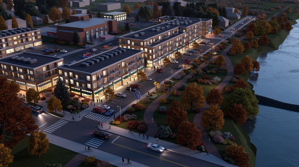 Hover · source model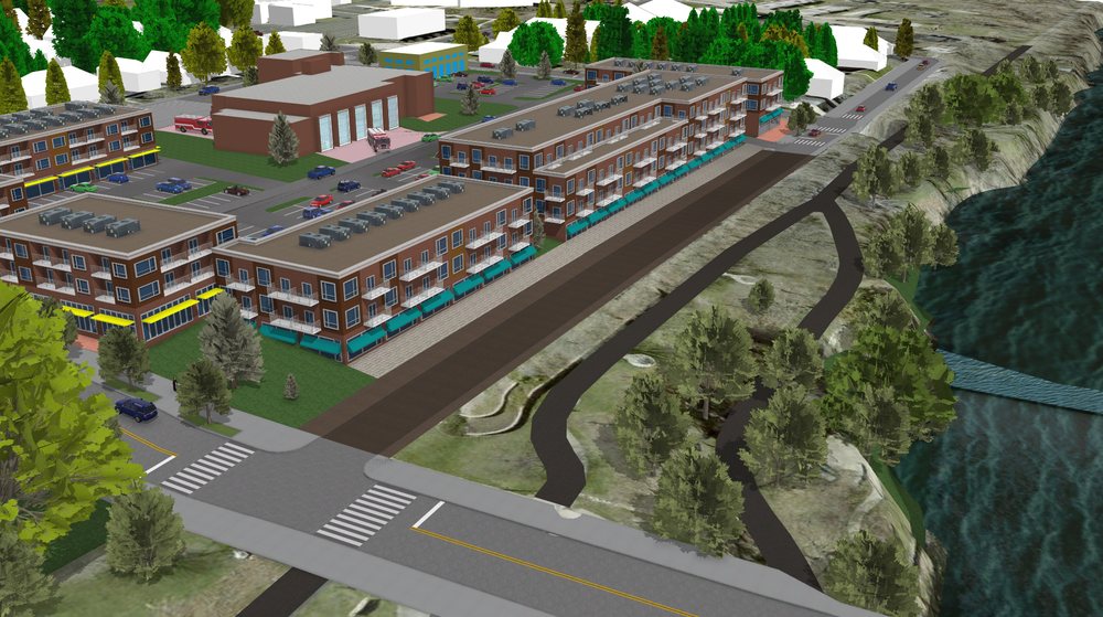
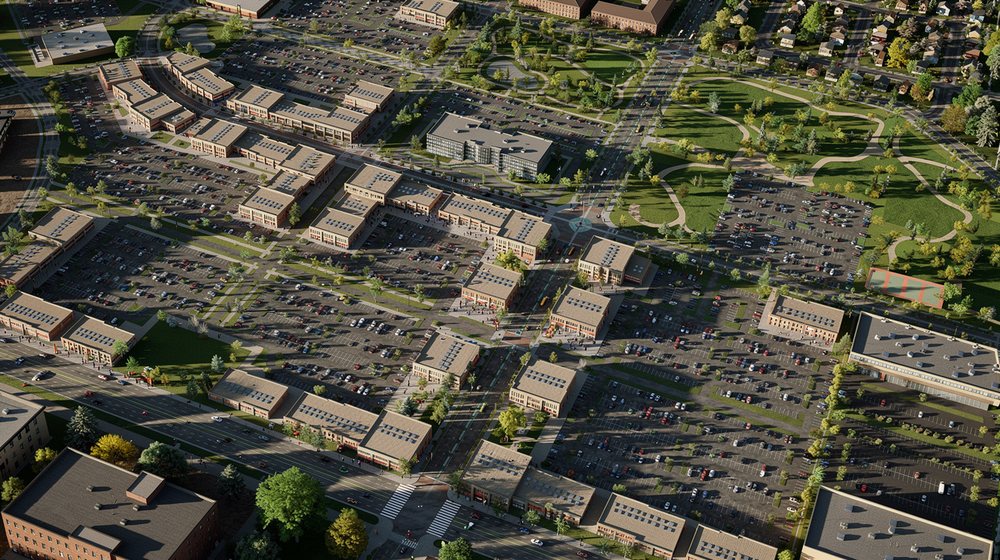 Hover · source model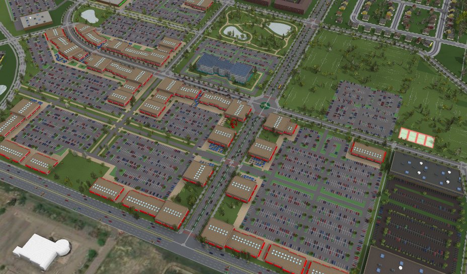
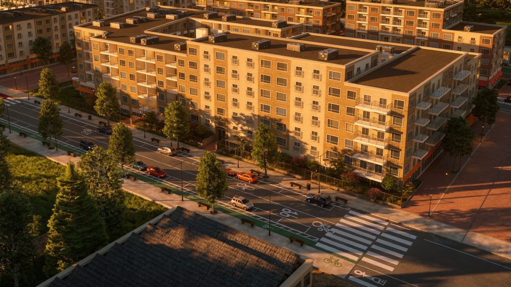 Hover · source model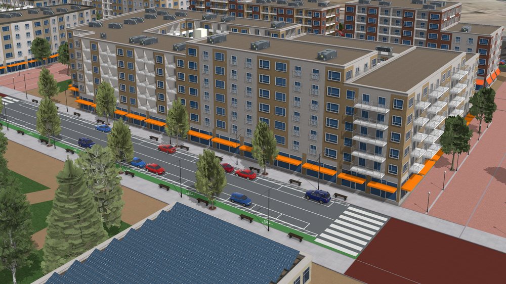
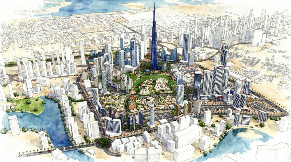 Hover · source model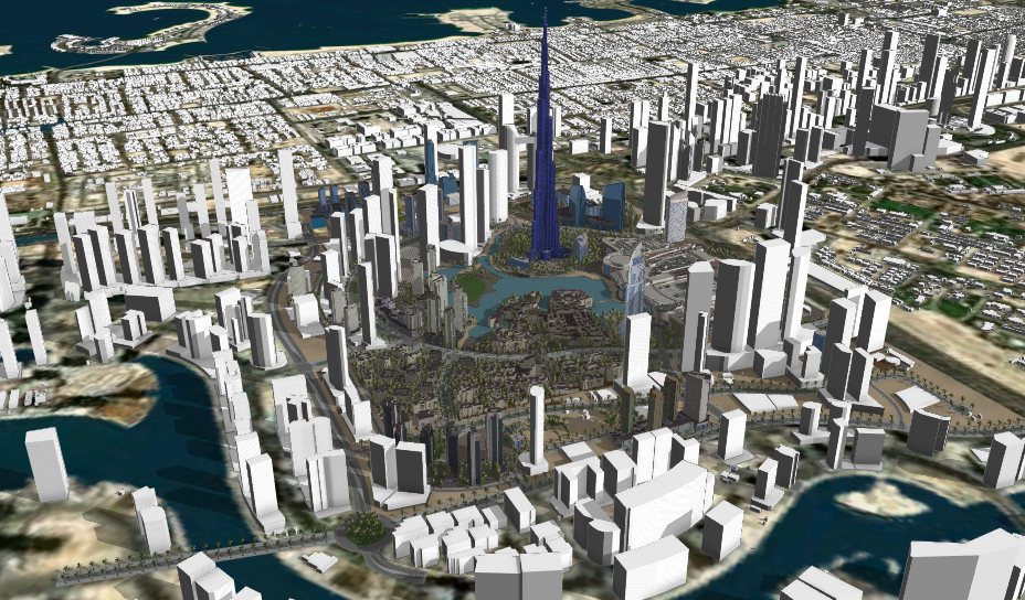
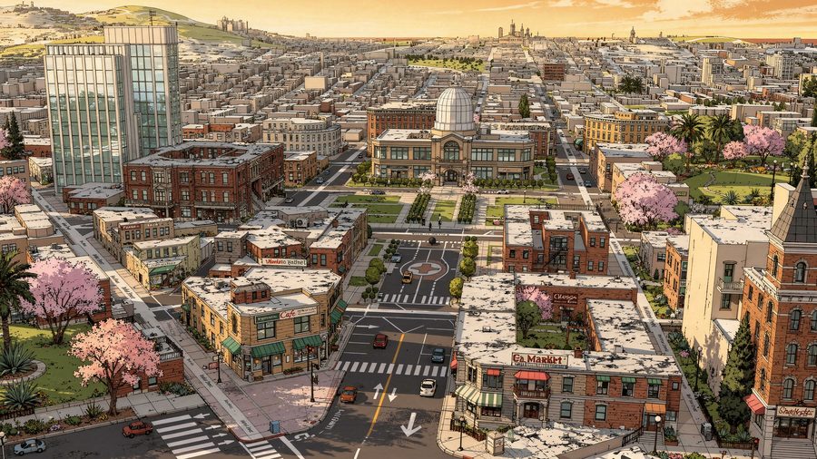
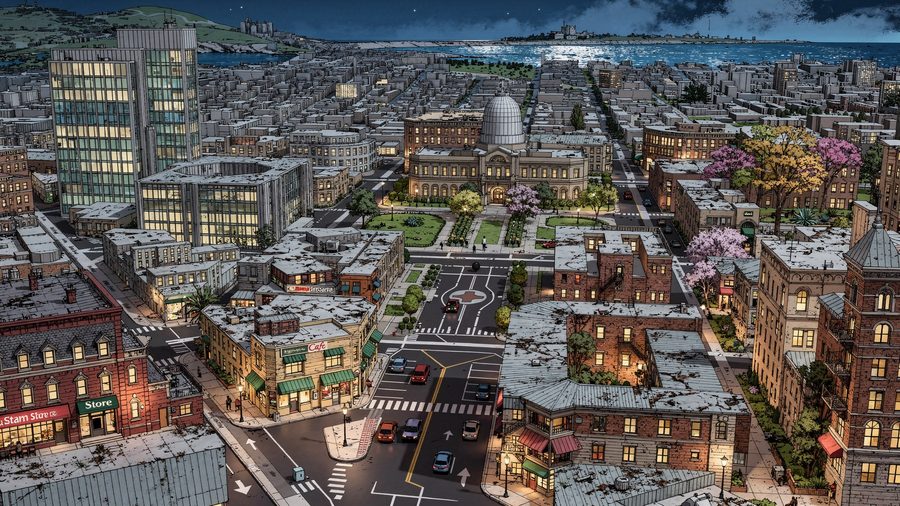
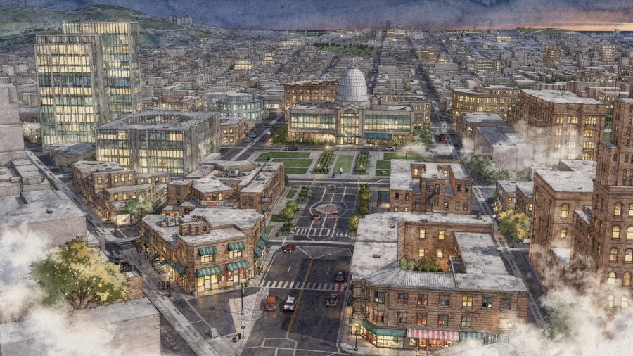
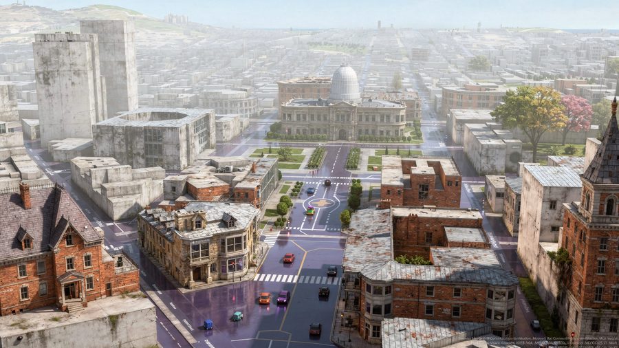
Pick the medium. Same model.
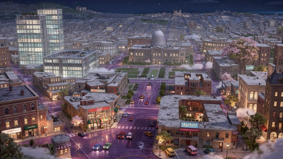
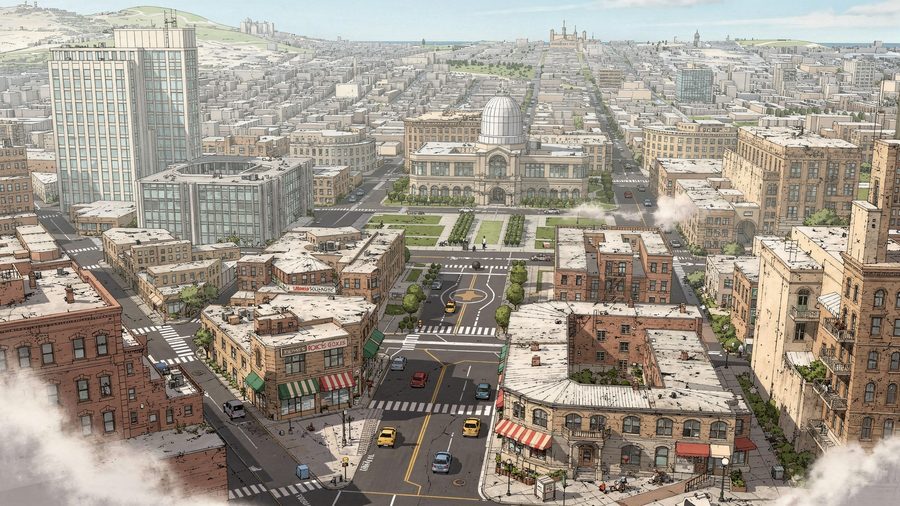
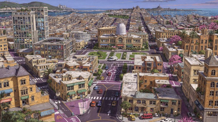
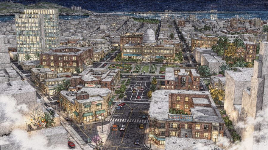
One 3D scene of a civic center — swept across render styles, from photoreal to watercolor to ink line. Move across it to scrub.
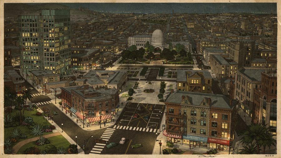
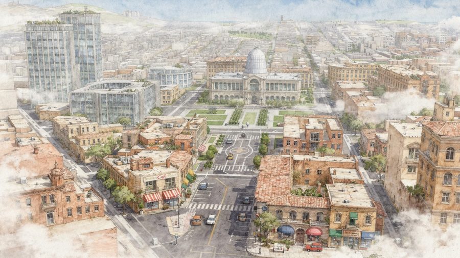
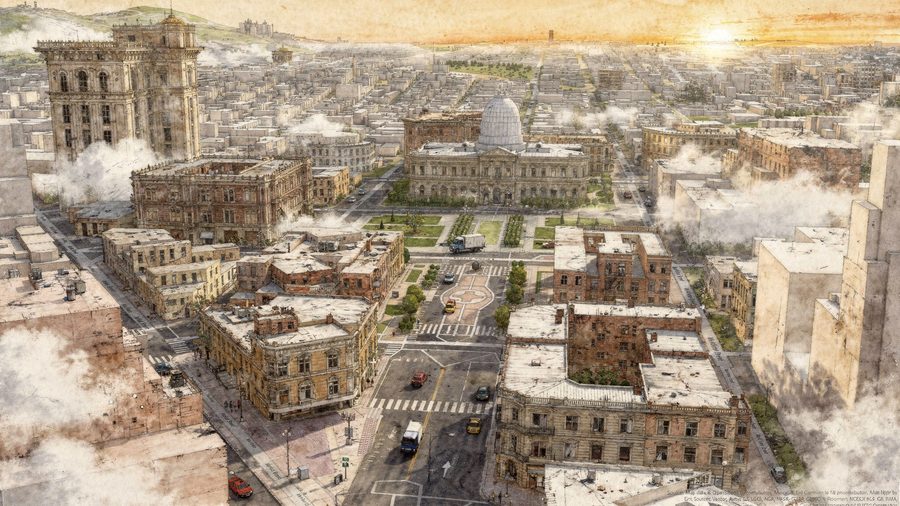
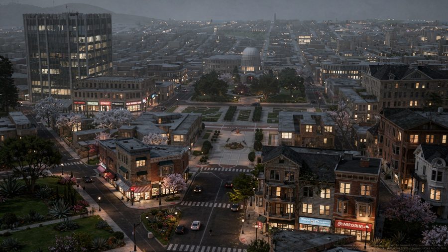
More than a render. The whole deliverable.
A render is one output. PlaceEngine composes the document, the workspace, the future scenario, and the place itself — every era, every city, rendered from your data.
One design, rendered true in any city on Earth
Time Machine moves through time; Place Machine moves through space — local vernacular, climate, signage, and streetscape resolved per candidate city, from a single design.
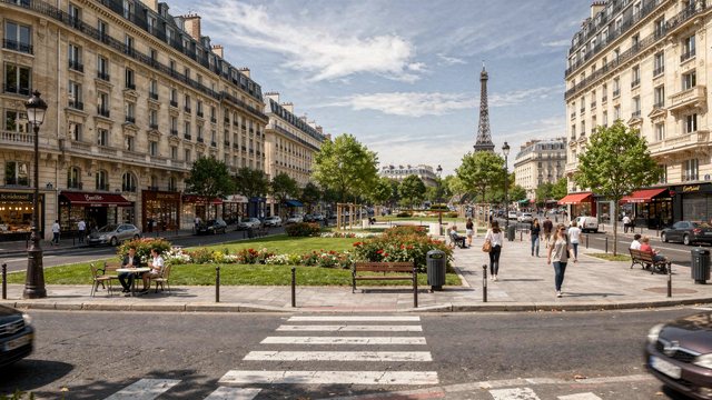
The same place, any era
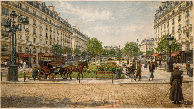
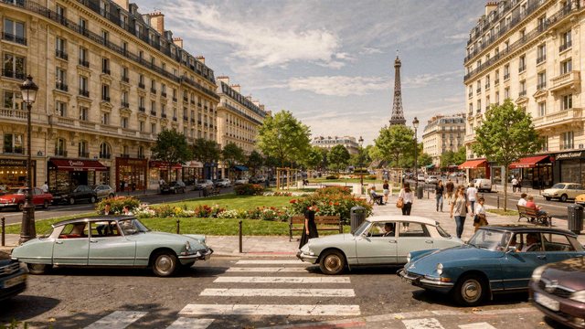
1880 through today — and the future your project produces. Era-conditioned from grounded to imaginative, and policy-conditioned to show the outcome before the vote.
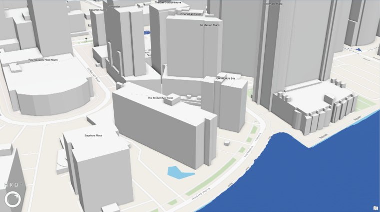
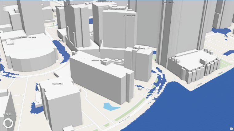
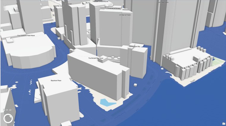
Model the future, rendered to scale
Watch the sea rise on the actual ArcGIS Pro model — then hit ▶ Rendered real to see the same flood rendered photoreal, to scale.
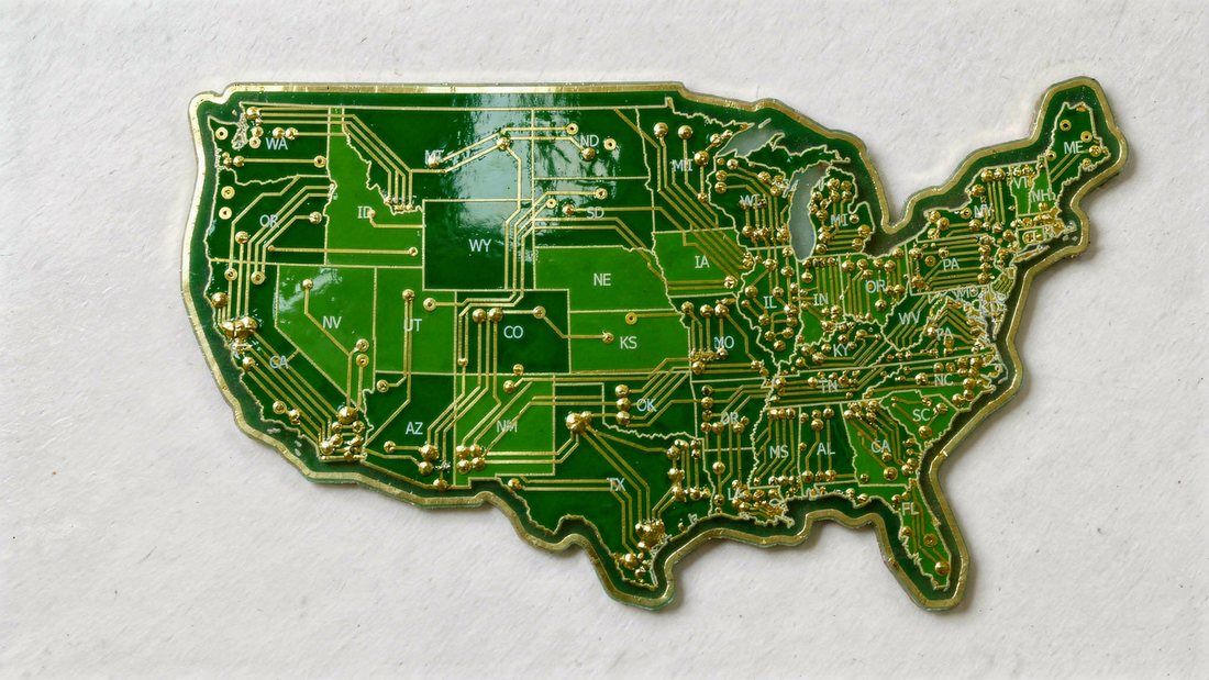
Your map, in any medium
A zoning map, a watercolor exhibit, or a nation rendered as a circuit board — cartography styled to fit the story, not just the standard.
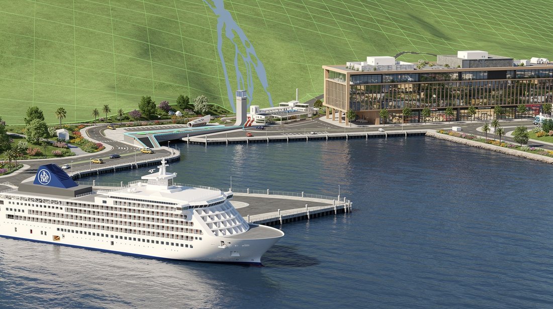
CityEngine, ArcGIS Pro, SketchUp, or Rhino
Every host speaks the same Send contract: captured views in, an enhanced batch back, one Studio citizen. Single view → a render; a multi-view run → a collection.
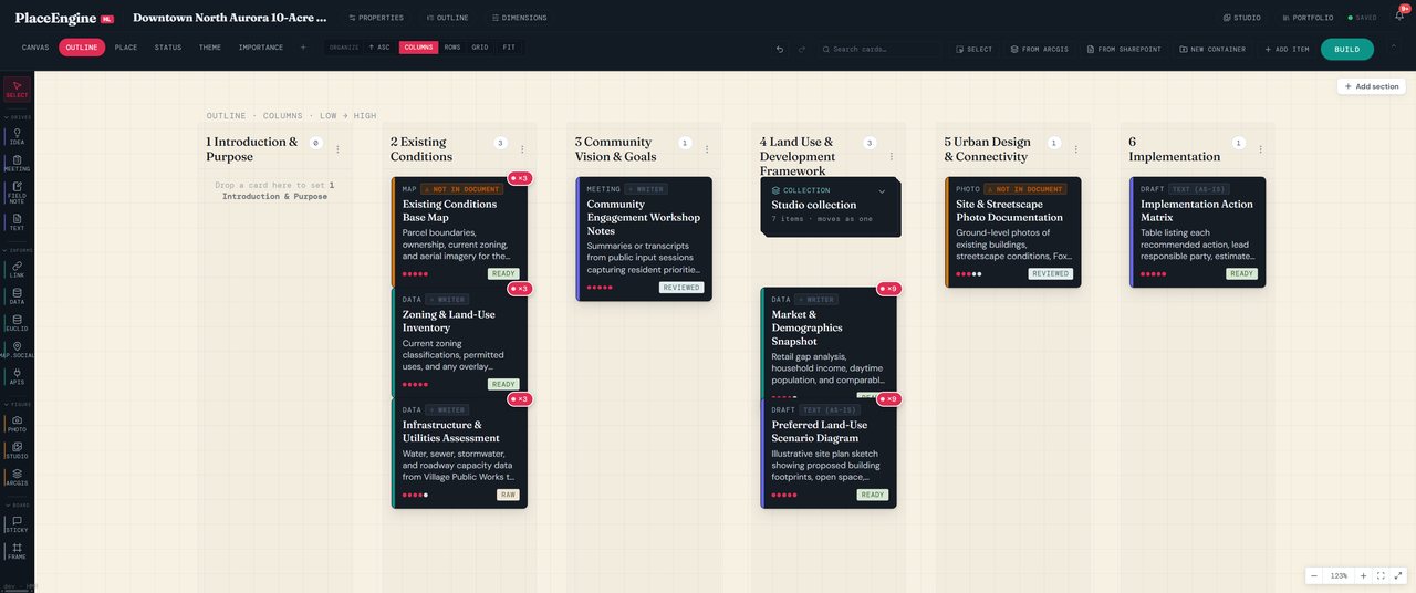
Compose the whole project in one workspace
Drop in maps, research, photos, and notes; run every engine from the board; results flow back in. A multi-lens authoring surface — the project in one place, from existing conditions to the implementation matrix.
An engine, not a template.
PlaceEngine HL extends the Esri stack you already run — it doesn't replace it. The hard GIS work stays in the hands of the professionals; the production work gets easier, faster, better.
ArcGIS-native
Plugs into AGOL, Pro, Urban, GeoEnrichment, and CityEngine. Designed to fit existing Enterprise Agreements and partner workflows.
Document composition
50+ structured deliverable types — corridor studies, TIS, staff reports, engagement guides — assembled from your authoritative data.
3D scenes + maps, rendered
Publication-grade visualizations from your real geometry — rendered straight from CityEngine or ArcGIS Pro scenes and maps, not stock art. Streetscapes, aerials, future-state renders.
Vertical packs
Curated assembly per deliverable type. PlaceEngine HL ships primitives; packs define the finished workflow.
Canvas workspace
The authoring surface inside PlaceEngine HL — drop in maps, research, and meeting notes, and view the project through six lenses.
Brand-consistent output
Your templates, your brand, your project specifics — every document and render comes out review-ready, not generic.
PlaceEngine HL ships primitives,
the pack defines the finished work.
A pack applies PlaceEngine HL to one kind of deliverable — combining the right data reads, document structure, and render styles into a single opinionated workflow.
Downtown
The full subarea workflow — existing conditions, a land-use and design framework, and the maps and renders that carry them — assembled from your ArcGIS data and adopted policies.
Corridor
Corridor and small-area studies — existing conditions, cross-sections, and streetscape visualizations from your CityEngine scenes.
Site · Tourism
Site feasibility packages and destination marketing visuals — buildable envelopes, concept renders, and funding-ready narratives.
From the zoning code to a guide
the whole town can read.
Euclid HL makes the regulatory state queryable — every ordinance, live. PlaceEngine composes it into something human: plans, staff reports, and citizen guides grounded in the code, never guessed. One example — a resident's guide to hosting a wedding in Madera County, written straight from the County's Title 18.
Wine-country welcome
The joy of the day and the sense of place — Yosemite's gateway.
Where you can host
Ag land, agritourism, and special-event character.
Permits, plain terms
Temporary-use vs. conditional-use — in human language.
Parking & noise
Event standards, said like a good neighbor would.
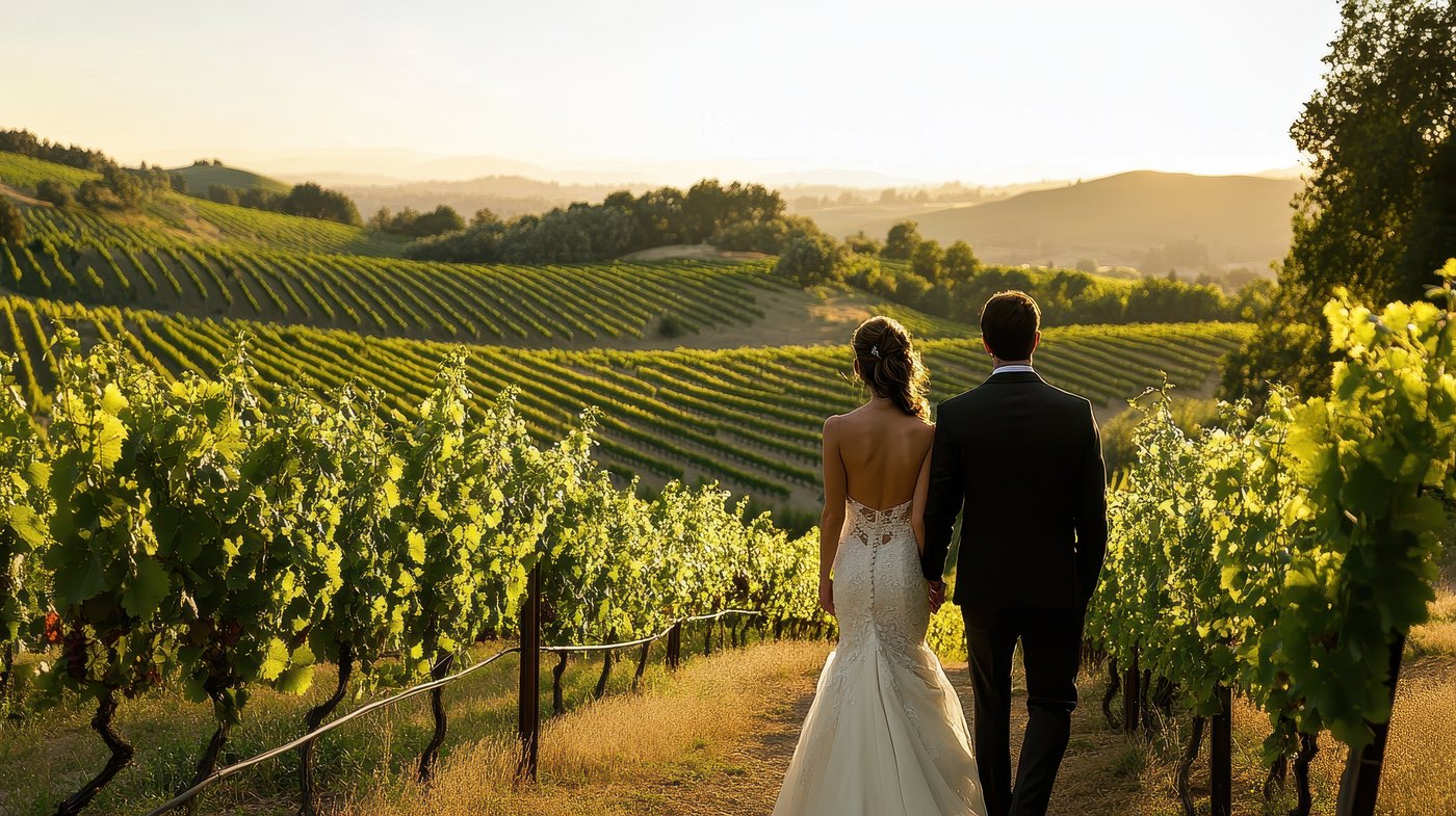
There is a particular magic to a Madera County evening — the light going long and gold over the vine rows. And if you live here, it may be exactly where you want to say I do.
Land zoned for agriculture may host weddings when they stay secondary to the land's agricultural use and meet the County's event standards.
Put your data to work.
From the ArcGIS environment you already run to a board-ready deliverable — composed and rendered. Book a walkthrough with your own data.
Request beta access →